


Expect frigid conditions to persist through the upcoming week.
The National Weather Service (NWS) has issued warnings for more chilling and snowy conditions in the eastern half of the United States over the weekend.
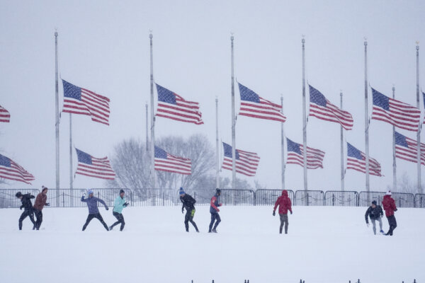
This will bring frigid temperatures to Washington, D.C., throughout the following week, including the presidential inauguration on Jan. 20.
According to the Weather Prediction Center, an arctic blast will bring frigid temperatures and cold wind chills well into the next week.
The Eastern United States will experience continued cold conditions before returning to seasonal averages and above-average temperatures in the southeast.
A cold front is expected to bring snow showers and squalls to the northern Rocky Mountains and western High Plains starting on Jan. 17.
Lake-effect snow will move southeast from Jan. 16, with warnings in effect for western New York. The central Appalachian mountains are also expecting heavy snowfall.
Snowfall is forecasted for Jan. 18 and 19, with winter conditions persisting through the week.
A combination of arctic blasts and lake-effect snow is expected to follow a recent winter storm that brought record-setting snowfall to the eastern United States.
The deep south is likely to experience rain rather than snow over the weekend.
The weather prediction center forecasts showers and possible thunderstorms near the central Gulf Coast region by Saturday morning.