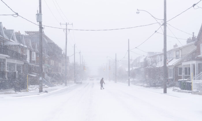
Residents in these areas should prepare for the coldest days in the final week of January and early February. Frigid Arctic air is expected to move in during that time, causing a significant temperature drop, especially in the Prairies.
British Columbia should brace for wet and “unseasonably chilly” conditions, while Quebec and the Maritimes may experience near to above-normal temperatures.
Above normal precipitation is forecasted over the eastern third of Canada, particularly in the Great Lakes area. Newfoundland and Labrador regions may also see some snow, although it is expected to be mushy and slushy due to anticipated above-normal temperatures, as per the Almanac.
Ontario may experience a mix of snow and rain, while Quebec is likely to see more snow than rain this winter, with a significant storm expected in mid-February. Overall, the best chances of a white winter are in the Prairies.
The last week of January is expected to bring active stormy weather, with strong winds and heavy precipitation in the eastern half of Canada during that time.
“We are particularly focusing on the time frames from January 20 to 23 and 24 to 27, which could bring significant snow, rain, sleet, and ice,” the forecast states.
Farmers’ Almanac Method
The Farmers’ Almanac has utilized the same methodology to develop its long-range weather forecasts since 1818.
By comparing past weather patterns to current conditions, the Almanac can predict future weather events using an approach known as analogue forecasting, which is effective in predicting storms.
The moon’s behavior plays a crucial role in the Almanac’s predictions. According to the website, the moon acts as a “meteorological swizzle stick,” occasionally stirring up atmospheric disturbances with its cyclical movements.


