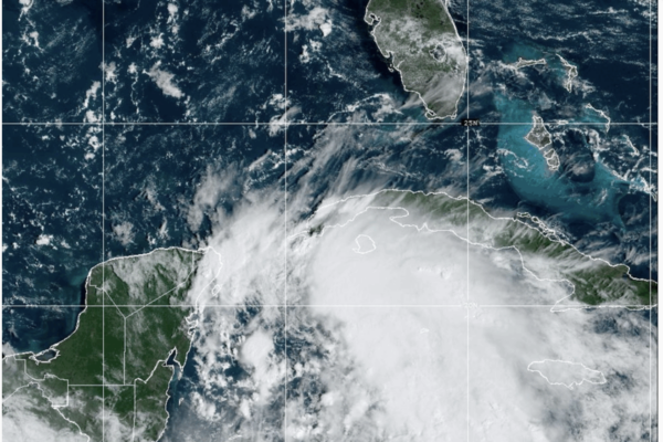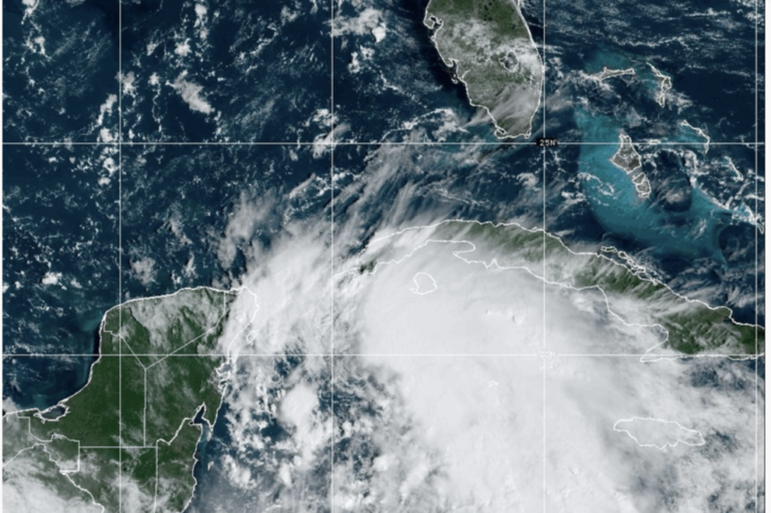
It is anticipated that Helene will reach land in or around Apalachee Bay as a Category 3 Hurricane on the evening of Sept. 26.
Florida has expanded its state of emergency to include 61 counties as of Sept. 24, with preparations underway for the potential impact of Hurricane Helene, as announced by Gov. Ron DeSantis.
Recently classified as Tropical Storm Helene by the National Hurricane Center (NHC) in the 11 a.m. (ET) advisory update, it is expected to intensify rapidly and strike the Florida Panhandle as a Category 3 Hurricane on Sept. 26.
A storm surge warning is already in place for nearly all of the Florida Gulf Coast, from Mexico Beach to the Florida Keys.
Key West and the lower Keys are under a tropical storm warning, while the Big Bend area could experience 10–15 feet of storm surge, and Tampa Bay may face five to eight feet of surge.
Tropical storm-force winds are predicted to reach the Tampa Bay area by the afternoon of Sept. 25.
During a press conference at the Emergency Operations Center in Tallahassee at 9:30 a.m., DeSantis mentioned that all counties except for Southeast Florida are likely to be impacted by the storm.
Kevin Guthrie, director of Florida’s Division of Emergency Management (FDEM), added that the hurricane’s tropical-storm-force winds (39 mph–73 mph) could extend 250 miles from the center, affecting the entire width of the peninsula from the Big Bend to the Space Coast.
The storm is expected to strengthen into a hurricane by the morning of Sept. 25 and become a major hurricane with winds exceeding 110 mph by early Sept. 26.
The NHC forecasts that the storm’s track will shift slightly west on Sept. 24 due to a high-pressure system moving eastward over Florida and the southeast United States, with landfall still expected in or around Apalachee Bay as a Category 3 Hurricane.
However, the NHC emphasizes that the exact impact will depend on the storm center’s formation and advises against focusing on specific landfall locations at this stage.
DeSantis also cautioned against relying solely on the cone of uncertainty, noting that significant changes in indirect impacts could occur beyond it, with movements to the east or west having substantial consequences.
If the storm maintains its current path, it would be the third hurricane to hit Florida’s Big Bend region in just over a year.


